Drilling & Investigation
Water Survey & Soil Testing
Geological and geophysical survey work that identifies where water is, how deep it sits and whether the site can support a productive well.
A survey is the single most valuable step before drilling. It reduces the risk of a dry or low-yielding borehole and informs how deep the well needs to go.
Our survey work examines the subsurface conditions of the site and identifies the most promising drilling point, along with the likely depth of the water-bearing formation.
Survey findings are explained in plain terms so you can make an informed decision before committing to a drilling programme.
Who this is for
- Anyone planning a borehole on a new or difficult site
- Developers assessing land before purchase or layout design
- Clients who have previously experienced a failed borehole
- Farms and industries planning high-volume abstraction
Our process
How the work is done
- 1
Site walkover
We review the terrain, existing structures and nearby boreholes.
- 2
Geophysical measurement
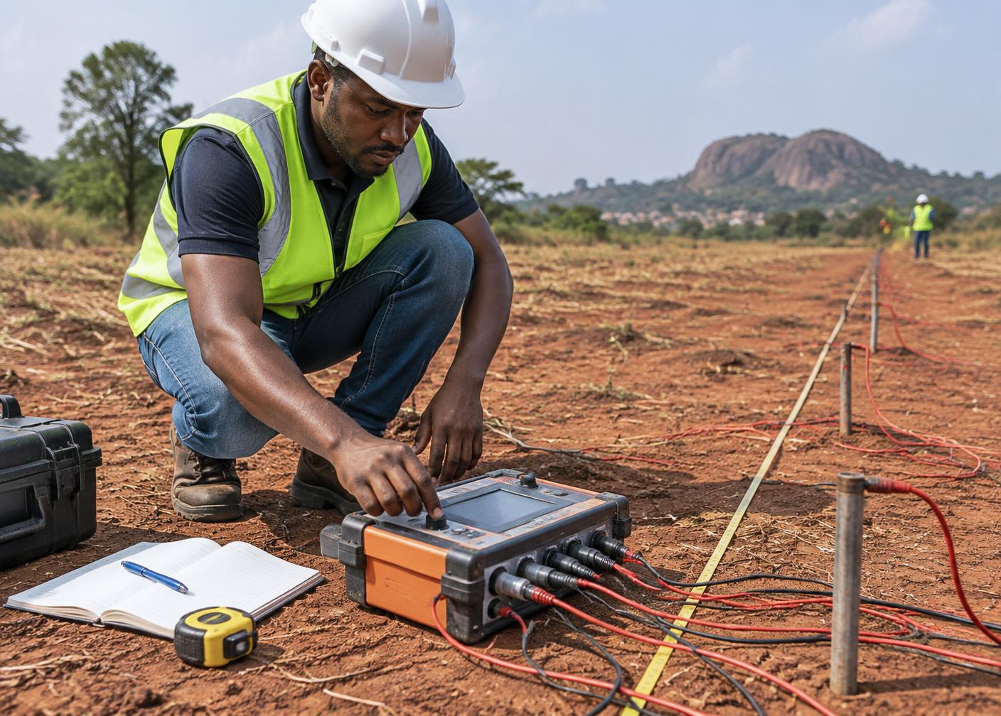
Readings are taken across the site to profile the subsurface.
- 3
Interpretation
Data is interpreted to locate the most promising drilling point.
- 4
Recommendation
You receive a recommended point, expected depth range and drilling approach.
FAQ
Water Survey & Soil Testing questions
Related
Related services
Request a site assessment
Ready to develop a dependable water source?
Tell us about your site and what you need the water for. We will advise on survey, depth and the most practical approach before any drilling begins.